MAKE A MEME
View Large Image

| View Original: | Worthington Public Square.jpg (2816x2112) | |||
| Download: | Original | Medium | Small | Thumb |
| Courtesy of: | commons.wikimedia.org | More Like This | ||
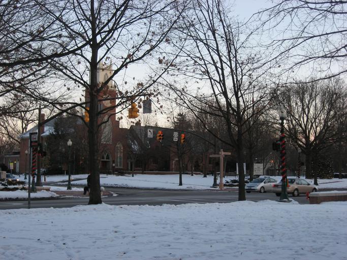
| Keywords: Worthington Public Square.jpg 80003024 40 5 20 8 N 83 1 6 W Looking southeast toward the intersection of High Street w U S Route 23 and Dublin-Granville Road Ohio State Route 161 State Route 161 in downtown Worthington Ohio Worthington Ohio United States The intersection and surrounding park compose the Worthington Public Square which was plat platted at the city's establishment in 1804; historically significant as an example of urban planning the square is listed on the National Register of Historic Places It is also part of a Register-listed historic district United States historic district the Worthington Historic District own 2010-12-25 User Nyttend Nyttend Historic districts in Franklin County Ohio National Register of Historic Places in Franklin County Ohio Ohio State Route 161 Squares in Ohio U S Route 23 in Ohio Worthington Ohio Community pictures by User Nyttend | ||||