MAKE A MEME
View Large Image

| View Original: | World administrative levels.png (1601x1054) | |||
| Download: | Original | Medium | Small | Thumb |
| Courtesy of: | commons.wikimedia.org | More Like This | ||
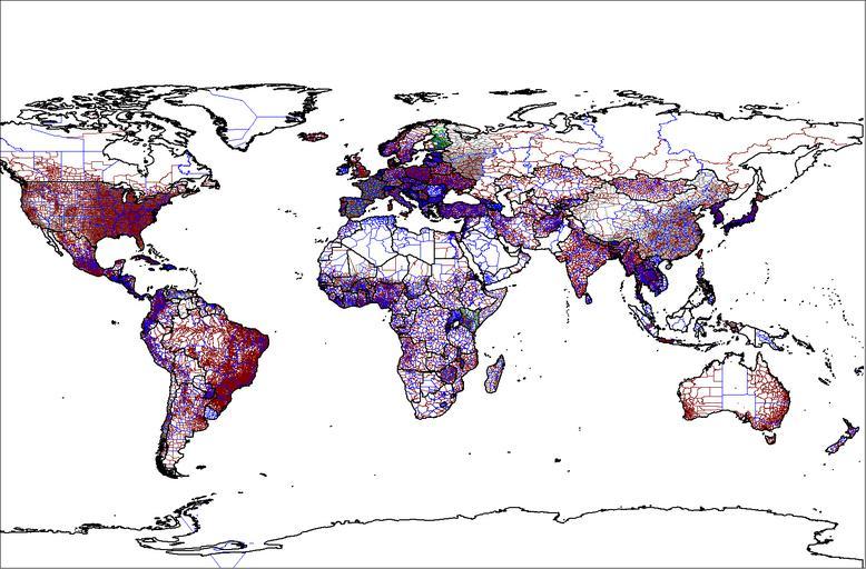
| Keywords: World administrative levels.png Blank Map World Secondary Political Divisions svg Map of the world administrative levels from the database that I am continually assembling/updating The color schema is Level 0 i e country boundaries 249 countries solid 1px black Level 1 233 countries solid 1px blue Level 2 139 countries solid 1px brown Level 3 34 countries solid 1px gray Level 4 Belgium France Germany Kenya Malawi Spain solid 1px green Level 5 France only solid 1px orange Level 6 France only solid 1px pink Map was created by Rarelibra 21 52 18 January 2007 UTC for public domain use using MapInfo Professional v8 5 and various mapping resources Atlas of the world Blank maps of the world with subnational borders Maps of country subdivisions Maps needing South Sudan political boundaries | ||||