MAKE A MEME
View Large Image

| View Original: | Woolwich map 1863-66, Bathway Quarter.jpg (733x596) | |||
| Download: | Original | Medium | Small | Thumb |
| Courtesy of: | commons.wikimedia.org | More Like This | ||
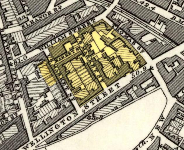
| Keywords: Woolwich map 1863-66, Bathway Quarter.jpg en Detail of Ordnance Survey Map of 1863-66 published in 1870 of Woolwich SE London then Kent Highlighted in yellow the Bathway Quarter designated as a Conservation Area 2016-10-13 21 02 42 http //maps nls uk/view/102343435 Unknown cartographer Ordnance Survey Maps c 1865 other versions Custom license marker 2016 10 13 PD-100 Maps from Ordnance Survey 1870 maps Maps of the Royal Borough of Greenwich History of Woolwich Bathway Quarter Woolwich | ||||