MAKE A MEME
View Large Image

| View Original: | Weather map USDHEW Nov 21–26.png (3291x1482) | |||
| Download: | Original | Medium | Small | Thumb |
| Courtesy of: | commons.wikimedia.org | More Like This | ||
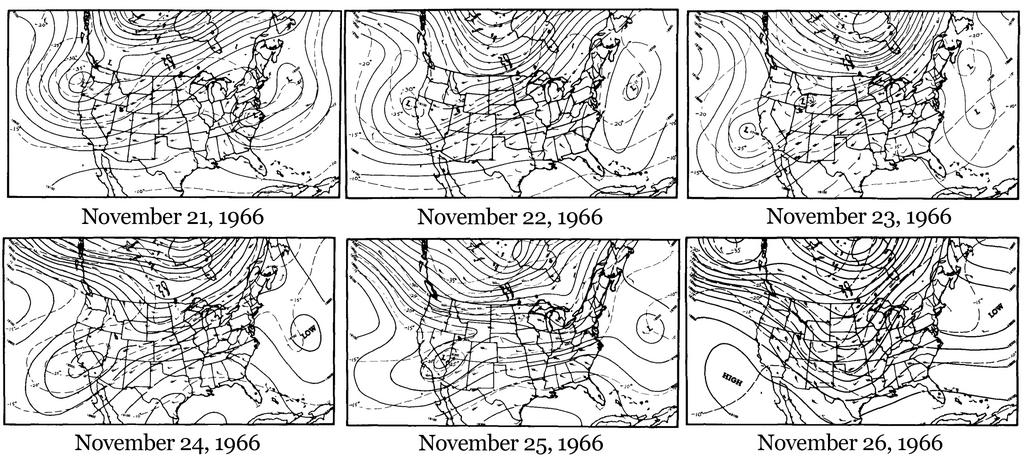
| Keywords: Weather map USDHEW Nov 21–26.png en Weather maps depicting wind patterns at a height of 18 000 feet from November 21 “26 1966 created by employees of the US Department of Health Education and Welfare 1968-07-01 https //nepis epa gov/Exe/ZyPDF cgi/20013P7R PDF Dockey 20013P7R PDF Thanksgiving 1966 Air Pollution Episode in the Eastern United States published by National Air Pollution Control Administration July 1968 and currently hosted at epa gov Jack C Fensterstock and Robert K Fankhauser as employees of the U S Department of Health Education and Welfare other versions PD-USGov Weather maps of the United States | ||||