MAKE A MEME
View Large Image

| View Original: | Vrstevnice.png (177x144) | |||
| Download: | Original | Medium | Small | Thumb |
| Courtesy of: | commons.wikimedia.org | More Like This | ||
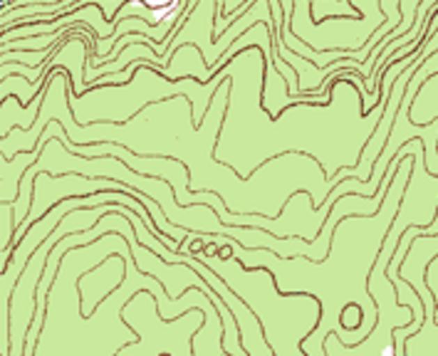
| Keywords: Vrstevnice.png contour lines vrstevnice Topographic_map_example png 2009-06-11 13 33 UTC Topographic_map_example png USGS derivative work Palu <span class signature-talk >talk</span> croped for another use Palu Topographic_map_example png Example of a topographic map with contour intervals Source Sample taken from the public domain USGS Digital Raster Graphic file</nowiki> Uploaded with derivativeFX Contour lines cartography PD files uploaded from other Wikimedia projects by Palu | ||||