MAKE A MEME
View Large Image

| View Original: | Virginia_1612_map.jpg (800x620) | |||
| Download: | Original | Medium | Small | Thumb |
| Courtesy of: | commons.wikimedia.org | More Like This | ||
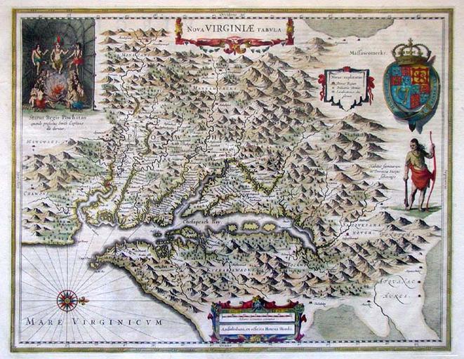
| Keywords: Virginia 1612 map.jpg 1612 map of Virginia eastern North America This map was based on John Smith's 1612 map of the Virginia Colony and was colored in by Henricus Hondius in 1639 http //www marshall edu/library/speccoll/virtual_museum/weaver/map2 asp 1639 John Smith Henricus Hondius PD-art-100 Original upload log page en wikipedia Virginia_1612_map jpg 2007-11-24 18 32 Patrickneil 800×620× 174540 bytes <nowiki>This map was based on John Smith's 1612 map of the Virginia colony and was colored in by Henricus Hondius in 1639 Source http //www marshall edu/library/speccoll/virtual_museum/weaver/map2 asp Virginia maps</nowiki> Old maps of Virginia Maps made in the 17th century 1612 in Virginia 1639 in Virginia Maps of the history of the United States | ||||