MAKE A MEME
View Large Image

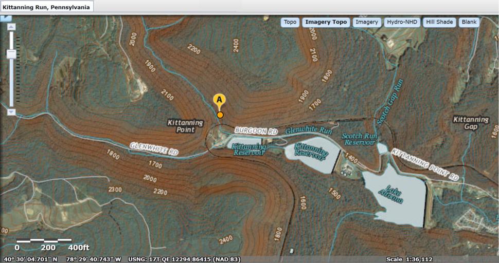
| View Original: | USGS National Map viewer showing Kittanning Run, Pennsylvania location near Altoona--MIxed Mode topo+Sat.png (1676x885) | |||
| Download: | Original | Medium | Small | Thumb |
| Courtesy of: | commons.wikimedia.org | More Like This | ||
| Keywords: USGS National Map viewer showing Kittanning Run, Pennsylvania location near Altoona--MIxed Mode topo+Sat.png Kittanning Run Pennsylvania one creek among several creating the gaps in the Allegheny that is in the Allegheny Front -- The bubble location shown is along the westbound railroad between Altoona Pennsylvania Altoona the tunnels at under the drainage divides at Gallitzin Tunnelhill 2016-05-07 USGS http //viewer nationalmap gov/viewer Tweaks by <B>Fra</B><font color green >nkB</font> other versions 40 30 04 701 N 78 29 40 743 W Kittanning Gap Pass and Kittanning Run do not share the same valley PD-USGov Nesquehoning 1 Landforms of Blair County Pennsylvania Landforms of Huntingdon County Pennsylvania Streams in Pennsylvania Valleys of Pennsylvania Maps of Blair County Pennsylvania | ||||