MAKE A MEME
View Large Image

| View Original: | The_Upper_Rhine_region,_with_Alsace_on_the_left_bank..jpg (1685x2187) | |||
| Download: | Original | Medium | Small | Thumb |
| Courtesy of: | commons.wikimedia.org | More Like This | ||
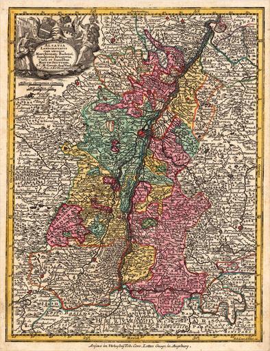
| Keywords: The Upper Rhine region, with Alsace on the left bank..jpg en The Upper Rhine showing the so-called Landgraviate of Alsace on the left bank before it was annexed to France at the Peace of Westphalia 1648 Territories in pink were Habsburg hereditary lands part of Further Austria Map printed by Matthäus Seutter circa 1750 2012-09-15 08 43 07 http //www bergbook com/cgi-bin/demo10 cgi/Search paint 1 search seutteri Matthäus Seutter PD-old-100 Uploaded with UploadWizard Old maps of Alsace Old maps of the Holy Roman Empire | ||||