MAKE A MEME
View Large Image

| View Original: | Surface_weather_map_Tropical_Depression_Gert_1993.gif (850x1096) | |||
| Download: | Original | Medium | Small | Thumb |
| Courtesy of: | commons.wikimedia.org | More Like This | ||
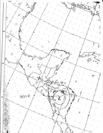
| Keywords: Surface weather map Tropical Depression Gert 1993.gif en The National Hurricane Center's surface weather analysis of Tropical Depression Gert inland near the Honduras-Nicaragua border at 2100 UTC on September 16 1993 2011-10-10 http //www nhc noaa gov/archive/storm_wallets/atlantic/atl1993/gert/sfcmap/sfc1621z gif National Hurricane Center PD-USGov Pacific hurricanes Tropical depressions in 1993 Uploaded with UploadWizard 1993 Atlantic hurricane season 1993 in Mexico Category 2 tropical cyclones Geography of Belize Geography of El Salvador Geography of Honduras Geography of Nicaragua Maps of Costa Rica | ||||