MAKE A MEME
View Large Image

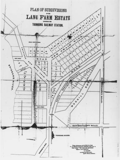
| View Original: | StateLibQld 1 130447 Map of Lang Farm Estate, adjoining the Toowong Railway Station, ca. 1870s.jpg (752x1000) | |||
| Download: | Original | Medium | Small | Thumb |
| Courtesy of: | commons.wikimedia.org | More Like This | ||
| Keywords: StateLibQld 1 130447 Map of Lang Farm Estate, adjoining the Toowong Railway Station, ca. 1870s.jpg en Map of Lang Farm Estate adjoining the Toowong Railway Station ca 1870s The estate is bounded by the Brisbane River Government Road and Moggill Road between 1870 1880 handle 10462/deriv/79572 Item is held by John Oxley Library State Library of Queensland PD-Australia StateLibQld-License Toowong Queensland 1870 in Queensland Black and white photographs | ||||