MAKE A MEME
View Large Image

| View Original: | Stadtplan_Tübingen_1819.png (3398x2976) | |||
| Download: | Original | Medium | Small | Thumb |
| Courtesy of: | commons.wikimedia.org | More Like This | ||
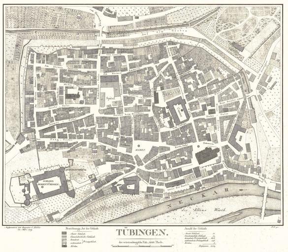
| Keywords: Stadtplan Tübingen 1819.png en Cadastral plan of Tübingen published 1819 de Katasterplan der Stadt Tübingen aufgenommen vom Geometer Conrad Kohler im März 1819 Lithographie 53 7 x 63 5 cm Maßstab 1 1250 http //www tuebingen de/1560_26855 html Beschreibung http //www tuebingen de/formulardownload/stadtplan1819 pdf Datei Stadtarchiv Tübingen D30/K234 Conrad Kohler Lithographie 1819-03 PD-old Maps of Tübingen History of Tübingen Cadastral maps 1819 in Tübingen | ||||