MAKE A MEME
View Large Image

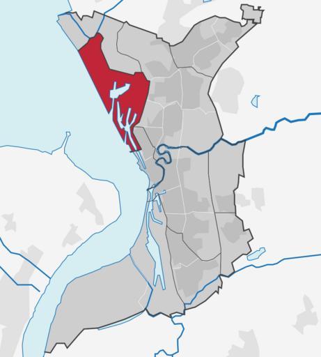
| View Original: | Stadtbremisches Überseehafengebiet Bremerhaven in Bremerhaven.svg (725x807) | |||
| Download: | Original | Medium | Small | Thumb |
| Courtesy of: | commons.wikimedia.org | More Like This | ||
| Keywords: Stadtbremisches Überseehafengebiet Bremerhaven in Bremerhaven.svg Lage von Stadtteil oder Bezirk xy siehe Dateiname in Bremerhaven Location of borough xy see filename in Bremerhaven own Adobe Illustrator Commonist <br>Based on http //www statistik-bremen de/RegionaleGliederung/karte htm Statistisches Landesamt Bremen Regionale Gliederung der Städte Bremen und Bremerhaven and http //www openstreetmap org/index html mlat 53 55 mlon 8 583333 zoom 12 Open street map data 2010-05-28 TUBS self TUBS TUBS/licensesection Attribution TUBS/Credits Locator maps of Bremerhaven SVG locator maps of Bremen Locator maps of districts in Bremen | ||||