MAKE A MEME
View Large Image

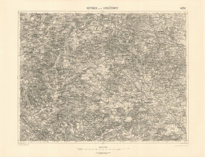
| View Original: | Spezialkarte_4251_Nepomuk_und_Horazdowitz.jpg (7005x5385) | |||
| Download: | Original | Medium | Small | Thumb |
| Courtesy of: | commons.wikimedia.org | More Like This | ||
| Keywords: Spezialkarte 4251 Nepomuk und Horazdowitz.jpg historische Landkarte Spezialkarte 1 75 000 franzisco-josephinische 3 Landesaufnahme der österreichisch-ungarischen Monarchie Blatt 4251 Nepomuk und Horažďowitz Mit Kasejowitz Měčín Plahitz Silberberg Bergstadtl Horazdowitz Mecin Archiv des k u k militär-geographisches Institutes Nach Zeichenschlüssel 1894 Teilweise berichtigt bis 14 VI 1915 Geripp Offic Schill Terrain Oberlt Trica k u k militär-geographisches Institut historisches amtliches Werk aus dem 19 Jahrhundert freies Werk PD-old Old maps of the Czech Republic Old maps of Bohemia Franzisco-Josephinische Landesaufnahme Spezialkarte Maps of South Bohemian Region Maps of the Plzeň Region Nepomuk Měčín Horažďovice Railway line 190 Czech Republic Railway line 191 Czech Republic Railway line 185 Czech Republic | ||||