MAKE A MEME
View Large Image

| View Original: | Space syntax - Global Integration - Brasilia.svg (580x650) | |||
| Download: | Original | Medium | Small | Thumb |
| Courtesy of: | commons.wikimedia.org | More Like This | ||
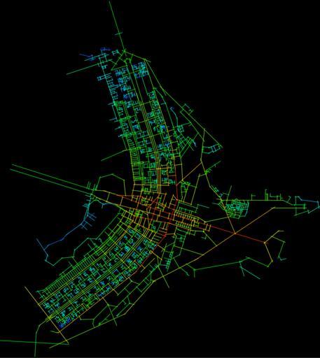
| Keywords: Space syntax - Global Integration - Brasilia.svg en Map of axis lines in the city of Brasilia The ramp of colors shows the global integration of the different streets measuring the accessibility of a topological line for the entire system according to the spatial analysis of the syntax space Created with Mindwalk 1 0 es Mapa de ejes axiales de la ciudad de Brasilia La rampa de colores -de rojo a azul- recoge la mayor o menor integración global de las diferentes calles midiendo la accesibilidad topológica de una línea para todo el conjunto del sistema según el análisis espacial de la sintaxis del espacio Creado con Minwalk 1 0 own Tony Rotondas 2008-12-08 250px Geographic information systems Urban studies and planning Architecture of Brasília | ||||