MAKE A MEME
View Large Image

| View Original: | Situations_plan_von_Jerusalem-_mit_den_nûÊchstgelegenen_heiligen_Orten_-_Aufgenommen_im_Jahre_1837_v.J.N.V.jpg (2180x2821) | |||
| Download: | Original | Medium | Small | Thumb |
| Courtesy of: | commons.wikimedia.org | More Like This | ||
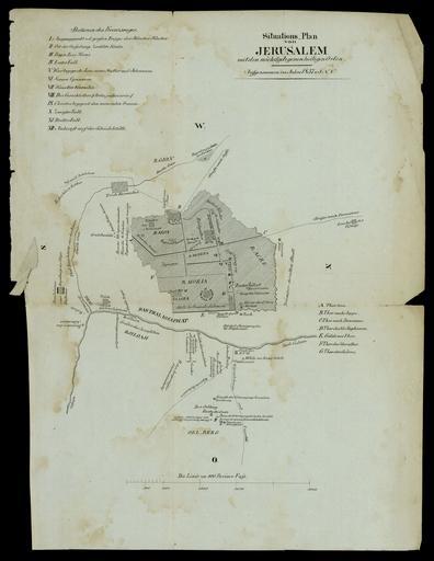
| Keywords: Situations plan von Jerusalem- mit den nûÊchstgelegenen heiligen Orten - Aufgenommen im Jahre 1837 v.J.N.V.jpg ææÊæ æˋæ ææ´ææˋæ ææ http //web nli org il/sites/NLI/Hebrew/digitallibrary/Laor-Collection/Pages/maps aspx en The old city of Jerusalem and the holy places adjacent 1837 he ææÂææ´ ææÂæˆææÏæ æææ´ææˋæ ææ ææææÏææææˆ ææÏæææˋææ ææÏæ´ææææ 1837 Dimensions 320x242 mm http //web nli org il/sites/NLI/Hebrew/digitallibrary/pages/viewer aspx presentorid NLI_MAPS_JER DocID NNL_MAPS_JER002369825 Click to enlarge http //web nli org il/sites/NLIS/en/Maps The Eran Laor Cartographic Collection National Library of Israel 2015-12-09 12 17 06 http //web nli org il/sites/NLI/English/Pages/default aspx The National Library of Israel PD-old Old maps of Jerusalem GLAM National Library of Israel Laor collection | ||||