MAKE A MEME
View Large Image

| View Original: | Sint_Eustatius_Map_1915.jpg (1500x1534) | |||
| Download: | Original | Medium | Small | Thumb |
| Courtesy of: | commons.wikimedia.org | More Like This | ||
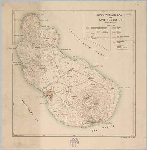
| Keywords: Sint Eustatius Map 1915.jpg en map of Sint Eustatius island of the Netherlands in the Caribbean Sea http //resolver kb nl/resolve urn urn gvn KONB16 41248961 role image size variable http //www geheugenvannederland nl/ /nl/items/KONB16 41248961 Topographische Inrichting Den Haag 1915 <gallery> Sint Eustatius Map 1915 B jpg </gallery> Maps of Sint Eustatius 1915 maps History of the Netherlands Antilles PD-old-100-1923 | ||||