MAKE A MEME
View Large Image

| View Original: | Satellite_Image_of_Ozone_Hole_in_1987.jpg (1532x1180) | |||
| Download: | Original | Medium | Small | Thumb |
| Courtesy of: | commons.wikimedia.org | More Like This | ||
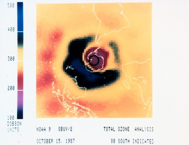
| Keywords: Satellite Image of Ozone Hole in 1987.jpg en Ozone analysis map showing ozone hole over Antarctic continent Data obtained from a Solar Backscatter Ultraviolet SBUV/2 instrument on board the NOAA-9 weather satellite 1987-10-15 http //www photolib noaa gov/htmls/spac0111 htm National Oceanic Atmospheric Administration NOAA other versions NOAA In Space Collection image ID spac0111 PD-USGov Uploaded with UploadWizard Ozone layer PD US NOAA Antarctic | ||||