MAKE A MEME
View Large Image

| View Original: | Santa Ana Freeway.svg (1152x639) | |||
| Download: | Original | Medium | Small | Thumb |
| Courtesy of: | commons.wikimedia.org | More Like This | ||
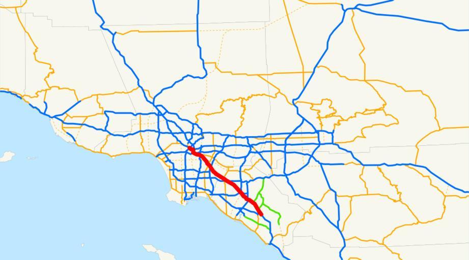
| Keywords: Santa Ana Freeway.svg Locator map of the Santa Ana Freeway in Los Angeles and Orange Counties Southern California The southern end of U S Route 101 and a southern section of Interstate 5 in California between Downtown Los Angeles and Santa Ana at the 'El Toro Y' in Orange County Email me if you would like a copy of the GIS data I created for the highways 2008-01-13 own assumed NE2 Interstate 5 in California U S Route 101 in California Maps of freeways in California Maps of Los Angeles County California Maps of Orange County California Maps of Los Angeles Roads in Los Angeles County California ~ | ||||