MAKE A MEME
View Large Image

| View Original: | Reichskreis_Niederrhein-Westfalen_1710.jpg (1978x2400) | |||
| Download: | Original | Medium | Small | Thumb |
| Courtesy of: | commons.wikimedia.org | More Like This | ||
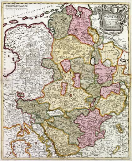
| Keywords: Reichskreis Niederrhein-Westfalen 1710.jpg Historische Karte vom Reichskreis Niederrhein-Westfalen im Jahre 1710 Internet-Portal Westfälische Geschichte des Landschaftsverbands Westfalen-Lippe http //www lwl org/westfaelische-geschichte/kar/normal/kar51 jpg 1710/1730 Peter Schenck PD-Old due to age of map Old maps of North Rhine-Westphalia Old maps of Lower Saxony Maps of territories in the Lower Rhenish-Westphalian Circle PD-old | ||||