MAKE A MEME
View Large Image
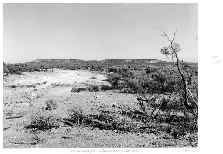
| View Original: | Queensland State Archives 5302 Eromanga to Coonberry Creek Road January 1955.png (721x499) | |||
| Download: | Original | Medium | Small | Thumb |
| Courtesy of: | commons.wikimedia.org | More Like This | ||
| Keywords: Queensland State Archives 5302 Eromanga to Coonberry Creek Road January 1955.png en Eromanga to Coonberry Creek Road <br /> The actual location is not specified It could be what is now the Cooper Developmental Road to the west of Eromanga or the south east end of the Coonaberry Creek-Mount Howitt Road 1955-01 http //www archivessearch qld gov au/Image/DigitalImageDetails aspx ImageId 5302 Preferred citation Queensland State Archives Digital Image ID 5302 ID label 1390246 http //www archivessearch qld gov au/Search/AgencyDetails aspx AgencyID 1995 Lands Department Survey Office Cartographic Branch Photographic Section en Copyright expired Information field Decade 1950-1959 Information field Place en Quilpie Shire Information field Material Type en Photographic material Information field Type en Image PD-Australia QSA media uploaded by User 99of9 Photographic material from the Queensland State Archives 1955 in Queensland Roads in Quilpie Eromanga Queensland Cooper Developmental Road | ||||