MAKE A MEME
View Large Image

| View Original: | PlanoMontevideoSitioGrande.JPG (924x657) | |||
| Download: | Original | Medium | Small | Thumb |
| Courtesy of: | commons.wikimedia.org | More Like This | ||
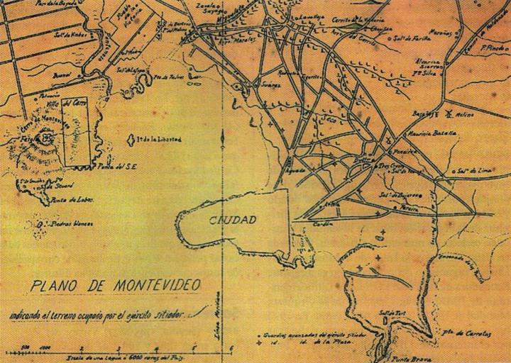
| Keywords: PlanoMontevideoSitioGrande.JPG en Former map of Montevideo Uruguay and surrounding towns now converted into neighborhoods of the city developed during the called Guerra Grande Great War 1843 - 1851 where the demarcation area occupied by the siege army of Montevideo es Mapa antiguo de Montevideo y pueblos aledaños Pueblo de la Victoria actual barrio de La Teja y el hoy también barrio de Villa del Cerro donde se indica el territorio ocupado por el ejército sitiador de Montevideo en el transcurso de la Guerra Grande Digitalizado del libro Gran Enciclopedia del Uruguay Author Entre 1843 y 1851 Período temporal de duración de la Guerra Grande PD-Uruguay PD-old Great Siege of Montevideo Old maps of Montevideo Military maps of Uruguay | ||||