MAKE A MEME
View Large Image
| View Original: | Plan_de_la_Riviere_de_Seine_dans_Paris,_1760.jpg (4192x3400) | |||
| Download: | Original | Medium | Small | Thumb |
| Courtesy of: | commons.wikimedia.org | More Like This | ||
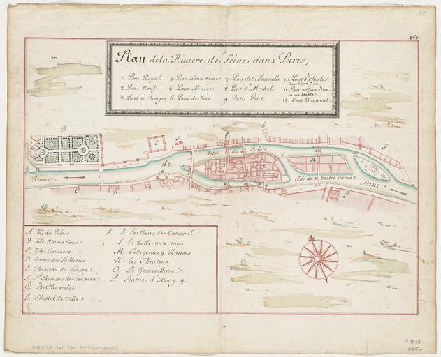
| Keywords: Plan de la Riviere de Seine dans Paris, 1760.jpg Artwork 1760 Size cm 42 29 Institution Boston Public Library object history exhibition history credit line http //maps bpl org/id/12079 Norman B Leventhal Map Center accession number G5832 S5 1760 P5x PD-100 Images from the Norman B Leventhal Map Center Seine River in Paris Maps of Paris in the 18th century 18th-century maps of Paris Maps of Île de la Cité Maps of Île Saint-Louis Paris in the 1760s 1760 maps Maps of Paris 1er arrondissement | ||||