MAKE A MEME
View Large Image

| View Original: | Pizzigano.jpg (4360x2752) | |||
| Download: | Original | Medium | Small | Thumb |
| Courtesy of: | commons.wikimedia.org | More Like This | ||
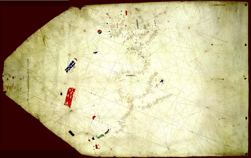
| Keywords: Pizzigano.jpg en The Pizzigano map also known as the Pizzigano chart is an Italian portolan chart dated 1424 It contains islands in the North Atlantic Ocean in the west of Spain and Portugal including Portuguese discoveries and legendary islands such as Antillia The cartographer may have been the Venetian Zuane Pizigano possibly a descendant of a 14th century family of mapmakes one of whom authored another well known map also called the Pizziagano map in Parma in 1367 https //www lib umn edu/apps/bell/map/PORTO/1424/index24 html University of Minnesota Libraries 8 gemonteerde screenshots own Pizzigiano Zuane XpoferenS 1424 Pizzigano 1424 map Antilia islands detail JPG Zuane Pizigano chart of 1424 Pizzigani maps Portolan charts in Italian | ||||