MAKE A MEME
View Large Image

| View Original: | Picquet_map_of_Paris_1814_-_U_of_Chicago_left_half_400_dpi.jpg (10913x13055) | |||
| Download: | Original | Medium | Small | Thumb |
| Courtesy of: | commons.wikimedia.org | More Like This | ||
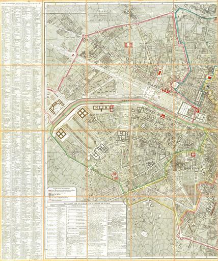
| Keywords: Picquet map of Paris 1814 - U of Chicago left half 400 dpi.jpg LargeImage en Western half of the Route plan of the city of Paris divided into XII arrondissements or municipalities and 48 quarters new corrected edition ; published by the French cartographer Charles Picquet in 1814 1 map; hand colored; 82 x 110 cm; scale 1 8 000 400 dpi fr « Plan routier de la ville de Paris divisé en XII arrondissements ou mairies et en 48 quartiers nouv éd corrigée » http //www lib uchicago edu/e/collections/maps/paris/G5834-P3-1814-P5 html University of Chicago Library author info Charles Picquet cartographer male 1814 <gallery> File Picquet map of Paris 1814 - U of Chicago jpg File Picquet map of Paris 1814 - U of Chicago left half 400 dpi jpg <center>Left half</center> File Picquet map of Paris 1814 - U of Chicago right half 400 dpi jpg <center>Right half</center> </gallery> Maps of Paris in the 19th century 1814 19th-century maps of Paris 1814 Charles Picquet 1814 in Paris PD-old-100 | ||||