MAKE A MEME
View Large Image

| View Original: | Pennsylvania Municipalities.svg (4954x2849) | |||
| Download: | Original | Medium | Small | Thumb |
| Courtesy of: | commons.wikimedia.org | More Like This | ||
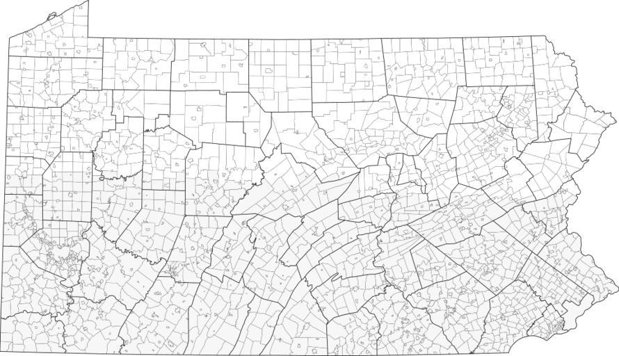
| Keywords: Pennsylvania Municipalities.svg municipalities in the U S state of Pennsylvania Created by me using Inkscape; municipality borders from http //www2 census gov/geo/maps/general_ref/cousub_outline/cen2k_pgsz/pa_cosub pdf county borders from any of the svg maps here User Mr Matté/Author template 2008-05-30 Each municipality in the map is an object The object's name is the same as the municipality name; for example the white object's name in the extreme lower-left corner is Springhill__Greene indicating that the municipality is Springhill Township Greene County If there is __ county name appended onto the end of an object name that means the name of that municipality repeated throughout the state and the county name is the county in which the selected object is located Also if within a county two names may appear usually one is a township; the object that is a township has _Twp following the name _Twp __ county name if the township name is not unique Contact my talk page for any questions Maps of Pennsylvania Maps created by User Mr Matté | ||||