MAKE A MEME
View Large Image
| View Original: | Pedro_Reinel_map_adaptation,_Newfoundland.jpg (434x300) | |||
| Download: | Original | Medium | Small | Thumb |
| Courtesy of: | commons.wikimedia.org | More Like This | ||
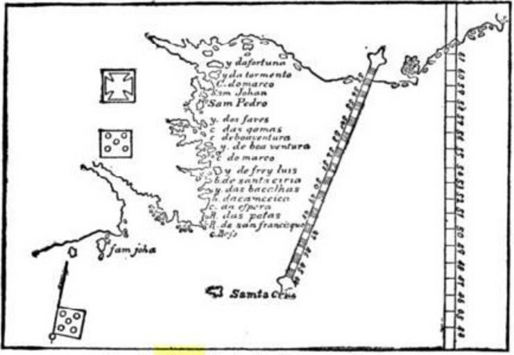
| Keywords: Pedro Reinel map adaptation, Newfoundland.jpg Detail of an adaptation of the Pedro Reinel map 1504 showing Newfoundland; from Samuel Edward Dawson The Saint Lawrence Its Basin Border-lands F A Stokes company 1905 http //books google com/books vid LCCN05016896 id GgTyGBFSkc0C pg PA57 lpg PA57 Map created 1504; book 1905; scanned by Google Books; file uploaded 15 October 2006 Kimon Berlin user Gribeco based on a scanned book none; public domain due to age PD-old Maps made in the 16th century Maps of Newfoundland and Labrador Maps by Pedro Reinel | ||||