MAKE A MEME
View Large Image
| View Original: | Paur_harthausen_1700.png (1348x1034) | |||
| Download: | Original | Medium | Small | Thumb |
| Courtesy of: | commons.wikimedia.org | More Like This | ||
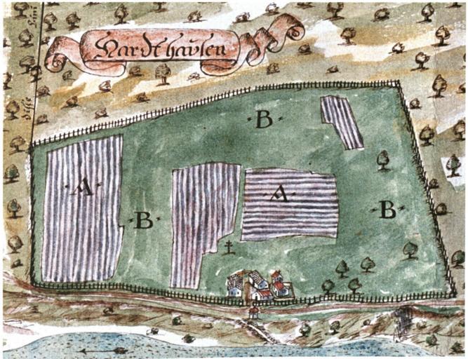
| Keywords: Paur harthausen 1700.png Map of Harthausen called Menterschwaige since 1807 in Munich Germany Made by Mattias Paur in 1700 Dorle Gribl Harlaching und die Menterschwaige Buchendorfer München 2004 p 175 1700 Creator Matthias Paur PD-old-100 File Harlaching Map 1700 Mattias Paur Geometer jpg 100px full map Gutshof Menterschwaige Old maps of Munich 1700 Harthausen Maps of Harlaching Matthias Paur Munich in the 18th century | ||||