MAKE A MEME
View Large Image

| View Original: | Page_48_of_Story_of_geographical_discovery_(Jacobs).png (1533x1536) | |||
| Download: | Original | Medium | Small | Thumb |
| Courtesy of: | commons.wikimedia.org | More Like This | ||
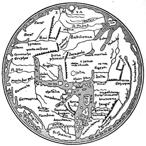
| Keywords: Page 48 of Story of geographical discovery (Jacobs).png in that work states The Hereford Map ”This one of the best known of mediaeval maps was drawn by Richard of Aldingham about 1307 Like most of these maps it has the east with the terrestrial paradise at the top and Jerusalem is represented as the centre University of California Libraries at https //archive org/details/storyofgeographi00jacorich 1916 c1915 Richard of Aldingham PD-old-70-1923 Maps from books Story of geographical discovery Hereford Mappa Mundi | ||||