MAKE A MEME
View Large Image

| View Original: | Ok-17A path.png (3425x2031) | |||
| Download: | Original | Medium | Small | Thumb |
| Courtesy of: | commons.wikimedia.org | More Like This | ||
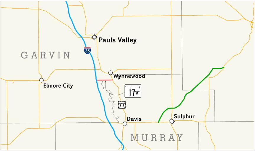
| Keywords: Ok-17A path.png A map showing the path of State Highway 17A in Oklahoma Created by me in Quantum GIS 0 11 0 based on data collected from http //www geo ou edu/ Inset based on File Map of Oklahoma highlighting Alfalfa County svg Shields based on files by User SPUI Inset shields and town labels manually added by me in Inkscape QGIS Inkscape 2009-01-24 Scott Nazelrod Public domain credit appreciated but not required US road map legend Road maps of state highways in Oklahoma 017A | ||||