MAKE A MEME
View Large Image

| View Original: | Northern Ireland map - July 2007.png (775x558) | |||
| Download: | Original | Medium | Small | Thumb |
| Courtesy of: | commons.wikimedia.org | More Like This | ||
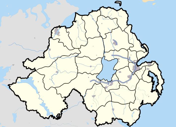
| Keywords: Northern Ireland map - July 2007.png locator map Map of Northern Ireland and surrounding seas and territory Features built-up areas in grey water in light-blue and motorways in blue with white stripe Districts of Northern Ireland are marked in black en wp en Image Northern Ireland map - July 2007 png 15 41 14 August 2007 en User Jza84 Jza84 Check categories 2008 November 21 en wikipedia Belfast en wikipedia Derry en wikipedia Enniskillen en wikipedia Lisnaskea en wikipedia Omagh en wikipedia Carrickfergus en wikipedia Ballycastle _County_Antrim en wikipedia Rathlin_Island en wikipedia Cookstown en wikipedia Limavady en wikipedia Newcastle _County_Down en wikipedia Newtownards en wikipedia Lurgan en wikipedia Newry en wikipedia Lisburn en wikipedia Portadown County Tyrone Belfast County Fermanagh Derry Maps of Northern Ireland Locator maps of the United Kingdom Locator maps of districts of Northern Ireland | ||||