MAKE A MEME
View Large Image

| View Original: | Northern_Borneo_1710_Ottens_Map_of_Southeast_Asia,_Singapore,_Thailand_(Siam),_Malaysia,_Sumatra,_Borneo_-_Geographicus_-_Siam-ottens-1710.jpg (1400x900) | |||
| Download: | Original | Medium | Small | Thumb |
| Courtesy of: | commons.wikimedia.org | More Like This | ||
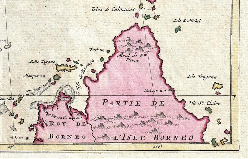
| Keywords: Northern Borneo 1710 Ottens Map of Southeast Asia, Singapore, Thailand (Siam), Malaysia, Sumatra, Borneo - Geographicus - Siam-ottens-1710.jpg en Northern Borneo This 1710 Ottens map is one of the example where Mount Kinabalu on the island of Borneo was called as Mount St Pierre in old maps made by European cartographers Image 1710 Ottens Map of Southeast Asia Singapore Thailand Siam Malaysia Sumatra Borneo - Geographicus - Siam-ottens-1710 jpg This map set would have been compiled into one of the Ottens' made-to-order atlases such as the magnificient <i>Atlas Major</i> Geographicus-source Siam-ottens-1710 Joachim Ottens circa 1710 undated PD-Art-100 Old maps of Southeast Asia North Borneo 1710 maps | ||||