MAKE A MEME
View Large Image

| View Original: | North_america98.svg (8000x3486) | |||
| Download: | Original | Medium | Small | Thumb |
| Courtesy of: | commons.wikimedia.org | More Like This | ||
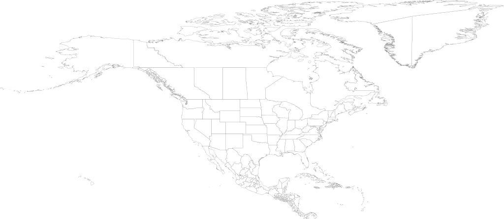
| Keywords: North america98.svg NOTE On this map Michigan is combined with the Great Lakes This file is very large It takes 508MB of memory 788MB on a 64-bit system just to open it in inkscape Map of North America as of 1998 with first level administrative units See also Image World98 svg world98 shp from the US CDC http //www cdc gov/epiinfo/documents/shapes doc 2007-10-20 Translated to SVG by User Brianski TODO Fix blips change background color so these blips are more obvious and thus easier to fix Also make proper hierarchical groups Generation Notes <pre> perl xml2svg pl --proj cylindrical_equidistant 0 0 793353340291235 --xa -90 -x8000 --incl /import/continents/north_america txt world98 mv -f world98 svg north_america98 svg </pre> PD-USGov Atlas of North America Blank maps of North America Maps with cylindrical projection SVG maps of North America | ||||