MAKE A MEME
View Large Image

| View Original: | NassauWeilburg1789.png (512x844) | |||
| Download: | Original | Medium | Small | Thumb |
| Courtesy of: | commons.wikimedia.org | More Like This | ||
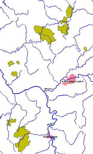
| Keywords: NassauWeilburg1789.png Nassau-Weilburg in 1789 - zelf gemaakt op basis van een andere kaart nl wikipedia 2005-05-10 Känsterle wikipedia nl Känsterle Original upload log page nl wikipedia NassauWeilburg1789 png 2005-05-10 10 46 Känsterle 512×844×8 47812 bytes <nowiki>Nassau-Weilburg in 1789 - zelf gemaakt op basis van een andere kaart PD </nowiki> Maps of the Holy Roman Empire Maps of the Duchy of Nassau Nobility Maps of the history of Rhineland-Palatinate | ||||