MAKE A MEME
View Large Image
| View Original: | Mona_passage.jpg (874x480) | |||
| Download: | Original | Medium | Small | Thumb |
| Courtesy of: | commons.wikimedia.org | More Like This | ||
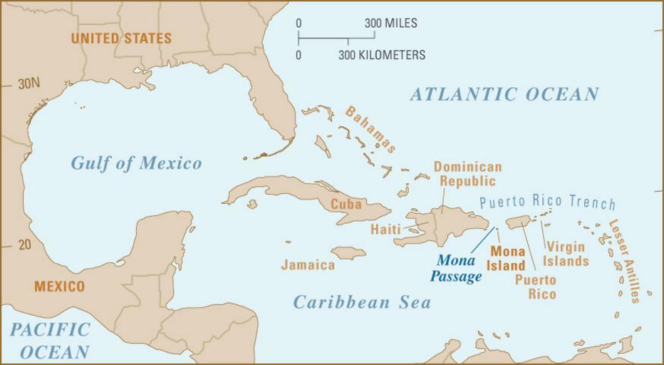
| Keywords: Mona passage.jpg Map showing location of Mona Passage http //soundwaves usgs gov/2007/05/ 01 20 8 February 2010 UTC PD-USGov Original upload log page en wikipedia Mona_passage jpg 2010-02-08 01 20 Vsmith 874×480× 86817 bytes <nowiki> Map showing location of Mona Passage http //soundwaves usgs gov/2007/05/ ~~~~~ </nowiki> International borders Geography of Puerto Rico Geography of the Dominican Republic Straits of North America Territorial waters | ||||