MAKE A MEME
View Large Image

| View Original: | Meklenburg_Ducatus_(8343082744).jpg (6793x5755) | |||
| Download: | Original | Medium | Small | Thumb |
| Courtesy of: | commons.wikimedia.org | More Like This | ||
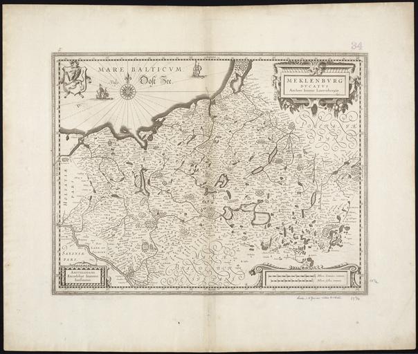
| Keywords: Meklenburg Ducatus (8343082744).jpg Zoom into http //maps bpl org/id/15347 this map at http //maps bpl org maps bpl org <br/> Author Johann Lauremberg 1590-1658 <br/> Publisher Jansson Jan<br/> Date 1630<br/> Location Germany Northern Mecklenburg Germany Region Schwerin Germany Landkreis <br/> Dimensions cm 34 45 <br/> Scale ca 1 520 000<br/> Call Number G1015 C651 1630 http //www flickr com/photos/normanbleventhalmapcenter/8343082744/ Meklenburg Ducatus Uploaded by tm 2012-12-19 10 05 http //www flickr com/people/24528911 N05 http //maps bpl org PD-old-100 File Upload Bot Magnus Manske 2013-08-21 Photos from Norman B Leventhal Map Center at the BPL's photostream Johann Lauremberg Old maps of Mecklenburg-Vorpommern Maps showing 17th-century history | ||||