MAKE A MEME
View Large Image

| View Original: | Meades Ranch.svg (820x520) | |||
| Download: | Original | Medium | Small | Thumb |
| Courtesy of: | commons.wikimedia.org | More Like This | ||
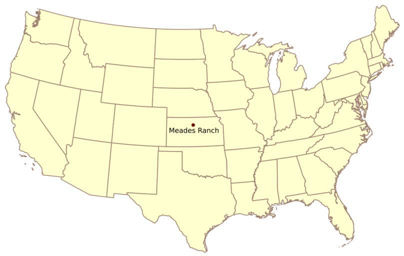
| Keywords: Meades Ranch.svg Meades Ranch the geodetic base point on the Clarke Ellipsoid for the North American Datum of 1927 NAD 27 at 39 224079 N 98 541807 W own Kbh3rd 2009-08-03 thumb left PNG version Created by Kbh3rd Geodetic control points Locator maps of Kansas Maps of Osborne County Kansas | ||||