MAKE A MEME
View Large Image

| View Original: | Martinique_1745.jpg (2000x1443) | |||
| Download: | Original | Medium | Small | Thumb |
| Courtesy of: | commons.wikimedia.org | More Like This | ||
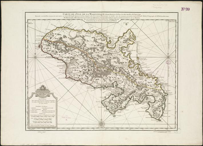
| Keywords: Martinique 1745.jpg Zoom into http //maps bpl org/id/14259 this map at http //maps bpl org maps bpl org <br/> Author L'Isle Guillaume de<br/> Publisher Buache Philippe<br/> Date 1745<br/> Location Martinique<br/> Dimension 43x58cm<br/> Scale ca 1 183 333<br/> Call Number G5080 1745 L57 creator Guillaume Delisle Uploaded from http //www flickr com/photos/24528911 N05/4587176206/ Carte de l'isle de la Martinique colonie Françoise de l'une des isles Antilles de l'Amérique 1745 uploaded 2010-05-05 16 06 http //www flickr com/people/24528911 N05 http //maps bpl org PD-old-100 cc-by-2 0 Norman B Leventhal Map Center at the BPL http //flickr com/photos/24528911 N05/4587176206 18 18 11 May 2010 UTC cc-by-2 0 Old maps of Martinique 1745 1745 maps Guillaume Delisle | ||||