MAKE A MEME
View Large Image
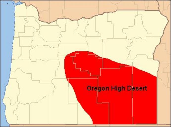
| View Original: | Map of Oregon High Desert Country.jpg (428x317) | |||
| Download: | Original | Medium | Small | Thumb |
| Courtesy of: | commons.wikimedia.org | More Like This | ||
| Keywords: Map of Oregon High Desert Country.jpg BadJPEG High Desert of Oregon ” in southeastern Oregon Covering much of Crook Deschutes Harney Lake and Malheur Counties in Oregon The moister northern High Desert region is part of the Columbia Plateau The dryer southern High Desert region is part of the Great Basin region of Oregon I created this work myself using as map format from Wiki-Commons Orygun 2010-03-10 This map is based on a map File Oregon Locator Map PNG previously posted on Wiki-Commons Maps of Oregon High Desert Great Basin region of Oregon 04 Deserts of the United States Oregon Maps of Columbia Plateau Great Basin USA Oregon Nature of Oregon Deserts Crook County Oregon Deschutes County Oregon Maps of Harney County Oregon Maps of Lake County Oregon Maps of Malheur County Oregon Geomorphology of Oregon | ||||