MAKE A MEME
View Large Image

| View Original: | Map of Fernando de Noronha-en.svg (1300x900) | |||
| Download: | Original | Medium | Small | Thumb |
| Courtesy of: | commons.wikimedia.org | More Like This | ||
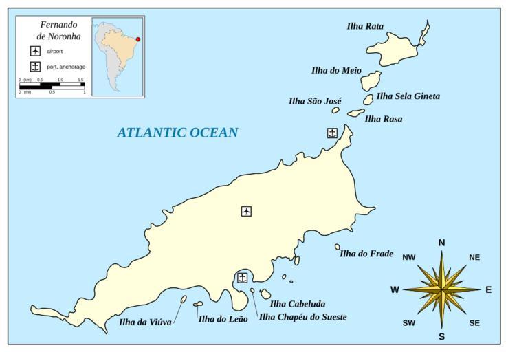
| Keywords: Map of Fernando de Noronha-en.svg en Map of Fernando de Noronha Self-made in Inkscape; coastline based on Landsat photo S-25-000_2000 ancorage points and island names based on http //www ladatco com/FEN-Map HTM Mysid 2009-06-03 Map of Fernando de Noronha-pt svg Other versions/Map of Fernando de Noronha translation possible Maps of Fernando de Noronha | ||||