MAKE A MEME
View Large Image
| View Original: | Manicaland districts.png (1056x816) | |||
| Download: | Original | Medium | Small | Thumb |
| Courtesy of: | commons.wikimedia.org | More Like This | ||
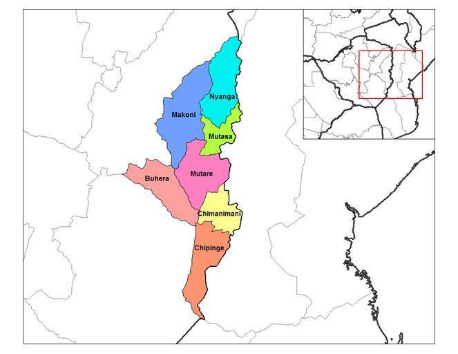
| Keywords: Manicaland districts.png Map of the districts of Manicaland province of Zimbabwe own Rarelibra using MapInfo Professional v8 5 and various mapping resources <br/> Transferred from http //en wikipedia org en wikipedia 2006-09-28 Rarelibra at http //en wikipedia org en wikipedia Rarelibra Original upload log page en wikipedia Manicaland_districts png 2006-09-28 18 28 Rarelibra 1056×816× 33900 bytes <nowiki>Map of the districts of Manicaland province of Angola Created by ~~~~ for public domain use using MapInfo Professional v8 5 and various mapping resources </nowiki> Maps of districts of Zimbabwe | ||||