MAKE A MEME
View Large Image

| View Original: | Lost_Coast_Headlands.jpg (1410x604) | |||
| Download: | Original | Medium | Small | Thumb |
| Courtesy of: | www.flickr.com | More Like This | ||
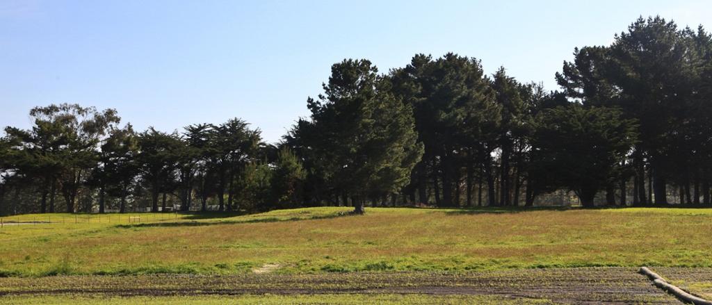
| Keywords: coast coastal california california coast californiacoast outdoors public lands publiclands conservation navy history travel visit preservation grasslands trails getoutdoors getoutside outdoor Lost Coast Headlands is along the coastal bluffs south of the mouth of the Eel River and approximately 260 miles north of San Francisco and 25 miles south of Eureka. Surrounded by private land, the 2 trailheads allow the visitor to access remote and rugged beaches. Fleener Creek trailhead has expansive views of the Pacific Ocean and the California Coastal National Monument to the south. A short walk down several switchbacks brings you to the mouth of Fleener Creek. The coastal bluffs consist mostly of grasslands with scattered patches of forest. The beach along the base of the bluffs is narrow and typically not passable except during very low tides. The exposed cliffs facing the ocean are rich in fossils and several locations along the bluffs are actively eroding into the ocean. Part of the Lost Coast Headlands includes the reclaimed site of the Centerville Beach Naval Facility. The U.S. Navy established the facility in 1958 as part of the Sound Surveillance System (SOSUS) that monitored Soviet submarines during the Cold War. At its peak of operation, it housed nearly 300 personnel and contained operational and support facilities including barracks, a gym, and other structures. The U.S. Navy stopped using the facility in 1993. In 2002, Congress authorized the transfer of land to BLM ownership and in 2008 funding was secured to decommission the site and the transfer was complete in 2010. The BLM manages for public access and open space preservation, resource enhancement and agricultural preservation. These premier coastal lands were acquired by grants from the California Coastal Conservancy and the Wildlife Conservation Board, with participation by The Conservation Fund. Photo by Bob Wick, BLM. Lost Coast Headlands is along the coastal bluffs south of the mouth of the Eel River and approximately 260 miles north of San Francisco and 25 miles south of Eureka. Surrounded by private land, the 2 trailheads allow the visitor to access remote and rugged beaches. Fleener Creek trailhead has expansive views of the Pacific Ocean and the California Coastal National Monument to the south. A short walk down several switchbacks brings you to the mouth of Fleener Creek. The coastal bluffs consist mostly of grasslands with scattered patches of forest. The beach along the base of the bluffs is narrow and typically not passable except during very low tides. The exposed cliffs facing the ocean are rich in fossils and several locations along the bluffs are actively eroding into the ocean. Part of the Lost Coast Headlands includes the reclaimed site of the Centerville Beach Naval Facility. The U.S. Navy established the facility in 1958 as part of the Sound Surveillance System (SOSUS) that monitored Soviet submarines during the Cold War. At its peak of operation, it housed nearly 300 personnel and contained operational and support facilities including barracks, a gym, and other structures. The U.S. Navy stopped using the facility in 1993. In 2002, Congress authorized the transfer of land to BLM ownership and in 2008 funding was secured to decommission the site and the transfer was complete in 2010. The BLM manages for public access and open space preservation, resource enhancement and agricultural preservation. These premier coastal lands were acquired by grants from the California Coastal Conservancy and the Wildlife Conservation Board, with participation by The Conservation Fund. Photo by Bob Wick, BLM. | ||||