MAKE A MEME
View Large Image

| View Original: | LondonderryShape.gif (532x405) | |||
| Download: | Original | Medium | Small | Thumb |
| Courtesy of: | commons.wikimedia.org | More Like This | ||
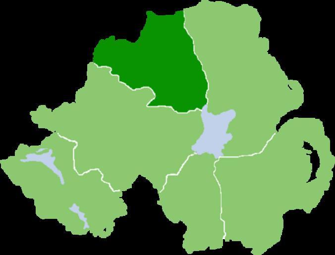
| Keywords: LondonderryShape.gif Outline map of County Londonderry Northern Ireland own Image NIShape gif 1 2008-07-07 User Grutness based on work of User Setanta747 / Grutness wikipedia en Grutness Original upload log en wikipedia Quadell CommonsHelper en wikipedia LondonderryShape gif 2008-07-07 07 59 Grutness 532×405× 10469 bytes <nowiki> Outline map of County Londonderry Northern Ireland own work based on Image NIShape gif 7/7/08 User Grutness based on work of User Setanta747 </nowiki> Maps of County Londonderry Locator maps of counties of Northern Ireland Location maps of Ireland | ||||