MAKE A MEME
View Large Image
| View Original: | Location of Prairie Band of Potawatomi.svg (6607x3387) | |||
| Download: | Original | Medium | Small | Thumb |
| Courtesy of: | commons.wikimedia.org | More Like This | ||
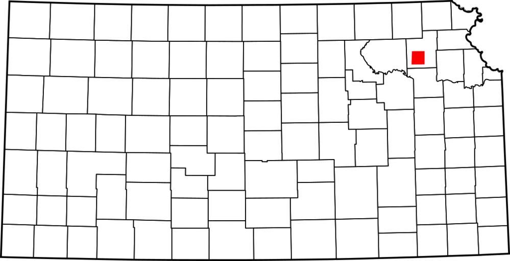
| Keywords: Location of Prairie Band of Potawatomi.svg Map showing the location of the Prairie Band of Potawatomi Made from Image Map of Kansas highlighting Allen County svg with information from http //nationalatlas gov nationalatlas gov Made using Inkscape 2007-10-03 Teaandcrumpets Locator maps of Indian reservations in the United States Created with Inkscape Maps of Kansas | ||||