MAKE A MEME
View Large Image
| View Original: | LIRR schematic.svg (3806x1712) | |||
| Download: | Original | Medium | Small | Thumb |
| Courtesy of: | commons.wikimedia.org | More Like This | ||
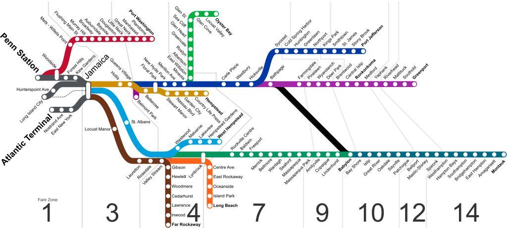
| Keywords: LIRR schematic.svg Schematic diagram of the Long Island Rail Road system as of 2013 with numbering indicating http //www mta info/lirr/about/TicketInfo/ fare zones Lines are shown as indicated and named on the http //www mta info/lirr/Timetable/lirrmap htm official LIRR map; in actual service trains often switch paths through Jamaica The Lower Montauk Line owned by the LIRR but now a New York and Atlantic Railway secondary is shown with a thin dashed line Accurate to 2013-06-07 own Original map by User NE2 with later modifications by users listed below Long Island Rail Road maps | ||||