MAKE A MEME
View Large Image

| View Original: | LIRR map.svg (1152x684) | |||
| Download: | Original | Medium | Small | Thumb |
| Courtesy of: | commons.wikimedia.org | More Like This | ||
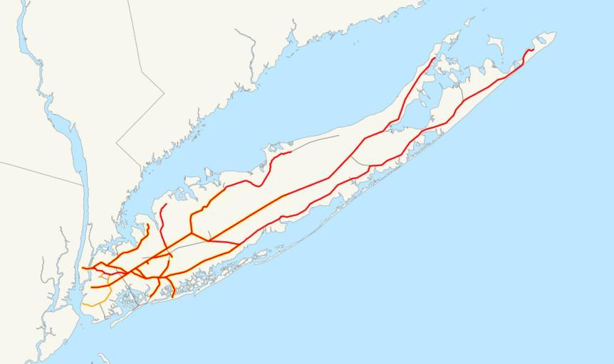
| Keywords: LIRR map.svg This is a map of the rail network currently owned by the Long Island Rail Road Orange lines are freight-only and are operated by the New York and Atlantic Railway Thin black lines have been abandoned A yellow highlight indicates electrification The following GIS data was used http //www bts gov/publications/north_american_transportation_atlas_data/ NORTAD for boundaries http //www bts gov/publications/national_transportation_atlas_database/2006/ 2006 National Transportation Atlas Database for U S rail lines A standard North American Lambert conformal conic projection was used 2006-12-13 own assumed NE2 Long Island Rail Road maps New York and Atlantic Railway | ||||