MAKE A MEME
View Large Image

| View Original: | LaTrobe Valley CFPS.png (590x330) | |||
| Download: | Original | Medium | Small | Thumb |
| Courtesy of: | commons.wikimedia.org | More Like This | ||
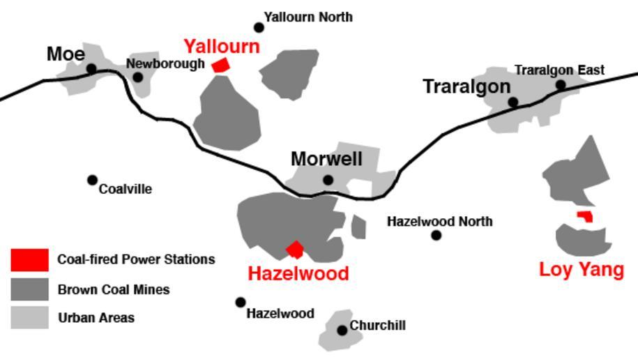
| Keywords: LaTrobe Valley CFPS.png A map of the major towns and coal-fired power stations in the LaTrobe Valley Gippsland Victoria Australia Map made by myself June 2009 en wikipedia Teratornis CommonsHelper 2009-06-15 Nick carson wikipedia en Nick carson original upload log page en wikipedia LaTrobe_Valley_CFPS png 2009-06-15 10 10 Nick carson 590×330× 36548 bytes <nowiki>A map of the major towns and coal-fired power stations in the LaTrobe Valley Gippsland Victoria Australia Map made by myself June 2009 </nowiki> Maps of Australia Coal mining schemas and diagrams Coal mining in Australia | ||||