MAKE A MEME
View Large Image

| View Original: | LA2-stridfin-map-oulu.png (1534x1304) | |||
| Download: | Original | Medium | Small | Thumb |
| Courtesy of: | commons.wikimedia.org | More Like This | ||
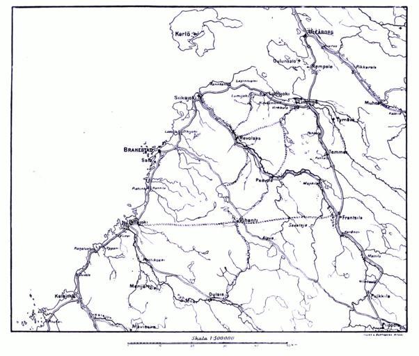
| Keywords: LA2-stridfin-map-oulu.png Map of the region south of en Oulu during the en Finnish War Map II http //runeberg org/stridfin/0077 html Page 61 Hugo Schulman Striden om Finland 1808-1809 1909 Map printed 1909 scanned and postprocessed by Lars Aronsson January 11 2008 The cartographer is unnamed; the corporate name Lilius Hertzberg publishers Helsinki is mentioned in some places PD-old Maps of Finnish War Maps of Northern Ostrobothnia | ||||