MAKE A MEME
View Large Image
| View Original: | KYTC district map.png (1000x431) | |||
| Download: | Original | Medium | Small | Thumb |
| Courtesy of: | commons.wikimedia.org | More Like This | ||
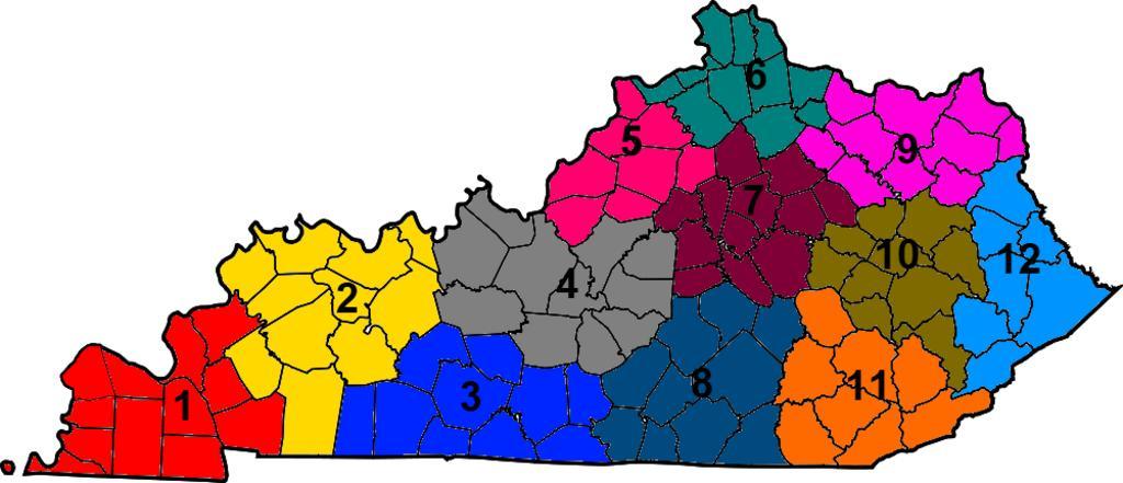
| Keywords: KYTC district map.png This is a locator map showing the Kentucky Transportation Cabinet districts The numbers come from http //transportation ky gov/Pages/Highway-Districts aspx here Map_of_Kentucky_highlighting_Ballard_County svg 50 2012-02-13 21 50 UTC Map_of_Kentucky_highlighting_Ballard_County svg Dbenbenn derivative work ucfirst Presidentman · Wikipedia Random Picture of the Day Added colors and numbers Presidentman Map_of_Kentucky_highlighting_Ballard_County svg </nowiki> Uploaded with derivativeFX Maps of Kentucky | ||||