MAKE A MEME
View Large Image
| View Original: | Kyrill MSC Napoli de.png (1000x800) | |||
| Download: | Original | Medium | Small | Thumb |
| Courtesy of: | commons.wikimedia.org | More Like This | ||
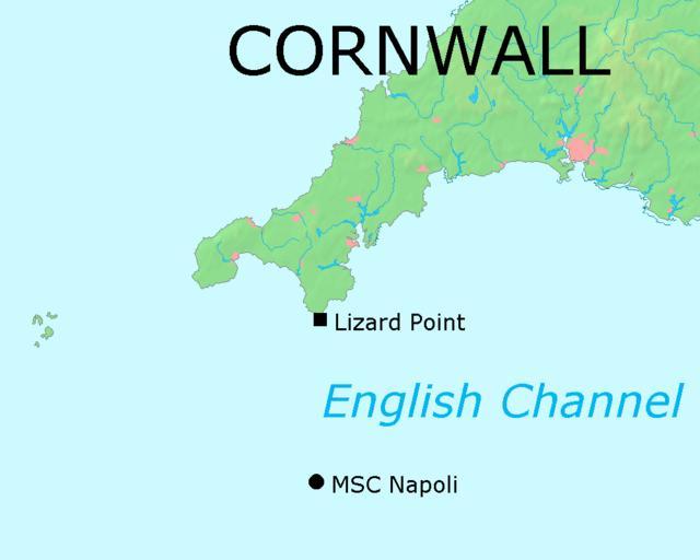
| Keywords: Kyrill MSC Napoli de.png Die Karte beruht auf Bild Map of Cornwall png auf Commons Die Position des in Seenot geratenen Containerschiffs MSC Napoli wurde durch Anwendung von Strahlensätzen anhand einer Karte der BBC _42465905_lizard_pt_map203 gif bestimmt de wikipedia 2007-01-19 Matthiasb wikipedia de PD-Demis Original upload log page de wikipedia Kyrill_MSC_Napoli png 2007-01-19 10 51 Matthiasb 1000×800× 46460 bytes <nowiki>Die Karte beruht auf Bild Map of Cornwall png auf Commons Die Position des in Seenot geratenen Containerschiffs MSC Napoli wurde durch Anwendung von Strahlensätzen anhand einer Karte der BBC _42465905_lizard_pt_map203 gif bestimmt </nowiki> MSC Napoli ship 1991 Kyrill storm | ||||