MAKE A MEME
View Large Image

| View Original: | Krainska_deschela_1778.jpg (7789x5193) | |||
| Download: | Original | Medium | Small | Thumb |
| Courtesy of: | commons.wikimedia.org | More Like This | ||
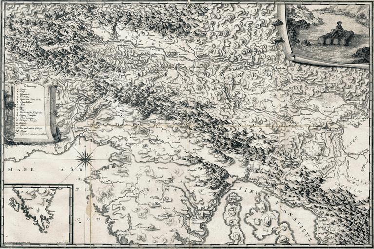
| Keywords: Krainska deschela 1778.jpg The Carniolan Land a map from the work Oryctographia Carniolica ed Belsazar Hacquet Ca 1 500 000; 65 x 43 cm In the right lower corner a map of Istria; in the left upper corner a drawing of a timber floater on the Sava Krainska deschela zemljevid iz dela Oryctographia Carniolica ur Balthasar Hacquet Merilo ok 1 500 000; 65 x 43 cm V desnem spodnjem kotu zemljevid Istre v levem zgornjem kotu risba splavarja na Savi UMBC87GX 1778 Franc Ksaver Baraga PD-old-100 assessments 1 Maps of Carniola 1778 maps 18th-century maps of Slovenia Timber floating in Slovenia Sava in art Maps of Istria Oryctographia Carniolica Geological maps of Slovenia Historical images of rafts in Slovenia | ||||